Home
Weather London
WeatherRadar
RainfallRadar
TemperatureRadar
WindRadar
LightningRadar
Weather News
Editor's Pick
Discover the app
Weather widget
Contact us
Apps
Career
    Home / Editor's Pick /

    Your weather - Your shots: Winter weather snaps and a supermoon too

11:00
7 December 2025

Your weather - Your shots
Winter weather snaps and a supermoon too

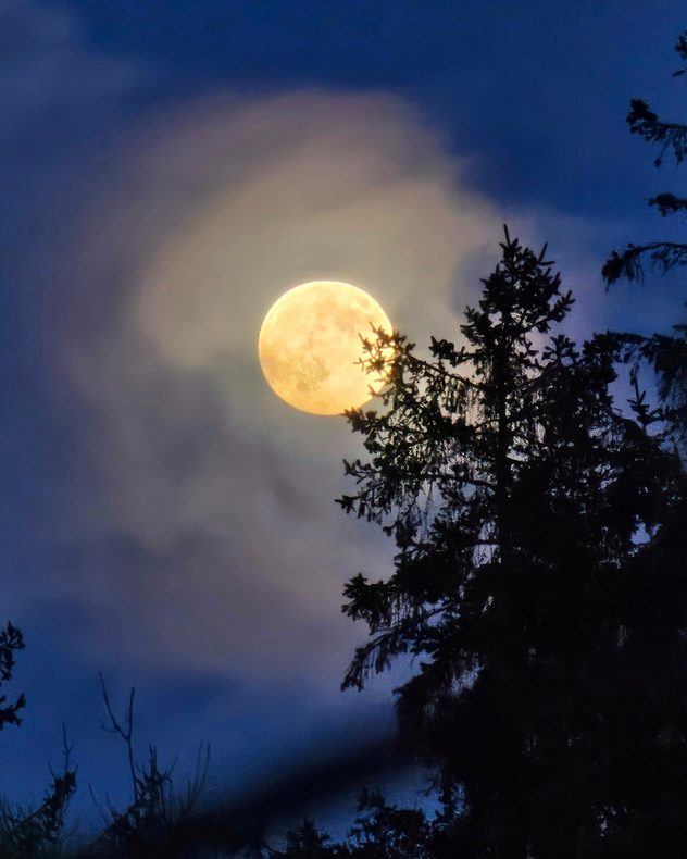
Large full moon glowing through thin cloud halo against a dark blue sky, with tall silhouetted trees partially obscuring the lower edge.
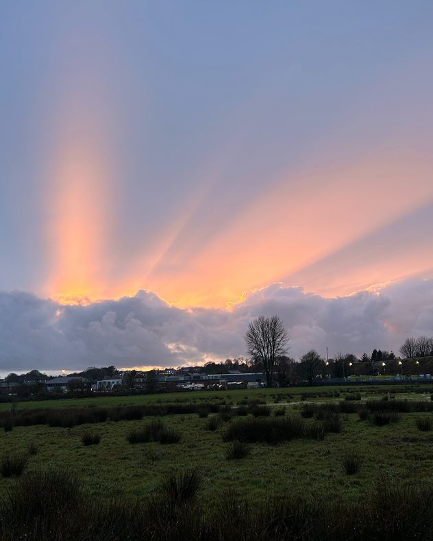
Dramatic sunset with bright crepuscular rays streaming upward from behind thick clouds above a grassy field and distant houses.
Coastal estuary at low tide with exposed mudflats, anchored boats, concrete blocks in the foreground, and a pastel orange-pink sunset behind distant buildings.
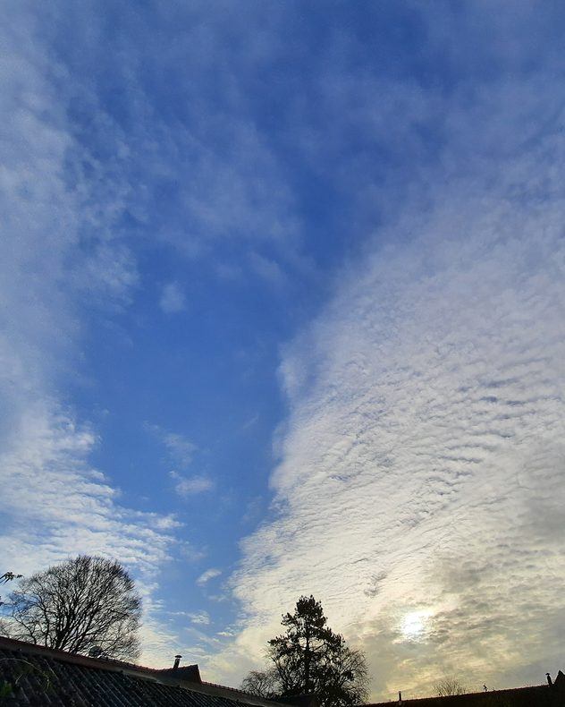
Wide view of blue sky with scattered white cloud layers, bright sun partially diffused behind cloud on the right, and silhouettes of leafless trees and rooftops below.
1/4
The Cold Supermoon was vibrant over Templemartin, Co. Cork. - © Jacky Quirke

Another changeable week is behind us, with the last supermoon of the year in tow, and as always we have the latest snapshots.

While the season has changed, we can't say goodbye to autumn just yet. Check back in the week for a look back at the golden season, as captured by our app users across the UK and Ireland!

In the meantime, keep the snaps coming. Use the uploaders for the UK or Ireland to send in your pictures and videos.

Get involved: Using the Uploader!
Weather & Radar editorial team
More on the topic
Record ocean heat halting hurricanes. Strong El Niño influence. . . Friday, 11 September 2026
A weather map shows a calm Atlantic Ocean with no hurricanes, alongside a picture of the sea.
Friday, 11 September 2026

Strong El Niño influence

Record ocean heat halting hurricanes
A marked change in the weather. Cold front heading south. . . Monday, 7 September 2026
Map of Europe showing a cold front stretching from Scandinavia to Spain. Thunderstorms are shown in southern and central Europe.
Monday, 7 September 2026

Cold front heading south

A marked change in the weather
Cheshire Gap produces shower funnel. Local phenomenon. . . Wednesday, 9 September 2026
Weather map showing showers moving southeast from Liverpool toward Birmingham, driven by Cheshire Gap convergence across central England.
Wednesday, 9 September 2026

Local phenomenon

Cheshire Gap produces shower funnel
All weather news
This might also interest you
Historic Storm Éowyn arrives. On this day.... . . Saturday, 24 January 2026
Split image showing a person in a yellow jacket struggling against strong winds and heavy rain on a street at night on the left, and an Irish wind forecast map on the right with red and purple shading, gusts up to 75 mph, and a wind warning icon, divided by a curved white line.
Saturday, 24 January 2026

On this day...

Historic Storm Éowyn arrives
Storm Chandra makes impact. Severe gales & heavy rain. . . Tuesday, 27 January 2026
Split image showing strong winds over the UK on a forecast map and widespread rain and snow on a weather radar map.
Tuesday, 27 January 2026

Severe gales & heavy rain

Storm Chandra makes impact
New records for England and Wales. Broken again tomorrow?. . . Thursday, 25 June 2026
Temperature map of southwest Britain on 25.06 showing extreme heat across southern Wales and southwest England, with Bute Park in Cardiff highlighted at 34.2°C and Yeovilton at 36.4°C amid widespread deep red heat zones.
Thursday, 25 June 2026

Broken again tomorrow?

New records for England and Wales
All articles
Weather & Radar

Weather & Radar is also available on

Google Play StoreApp Store

Company

Contact us Privacy Policy Legal info Accessibility statement

Services

Uploader

Socials

facebooktwittertikToklinkList