Home
Weather London
WeatherRadar
RainfallRadar
TemperatureRadar
WindRadar
LightningRadar
Weather News
Editor's Pick
Discover the app
Weather widget
Contact us
Apps
Career
    Home / Editor's Pick /

    Your weather - Your shots: Cooler views after the week's heat

13:00
31 May 2026

Your weather - Your shots
Cooler views after the week's heat

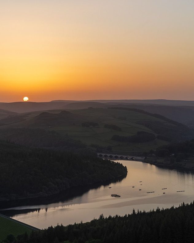
Sunset over a calm reservoir winding through rolling hills and forested valleys, with golden-orange skies, dark silhouettes, and reflections on the water below.
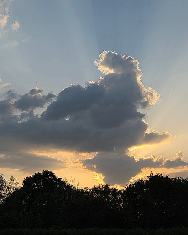
Large dark cumulus cloud towering above a tree-lined horizon at sunset, with golden sunlight outlining the cloud edges and visible sun rays spreading through the evening sky.
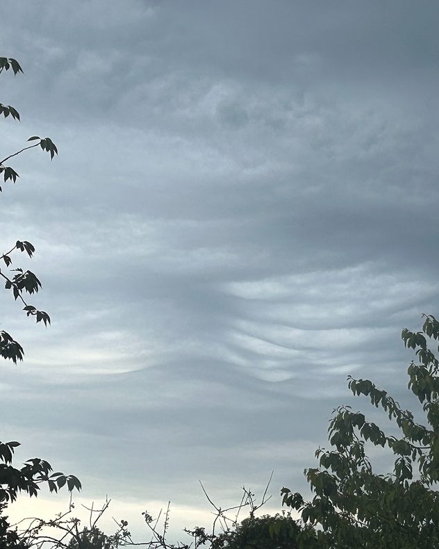
Layered gray wave-like clouds stretching across an overcast sky above trees, with smooth undulating bands creating a rippled atmospheric pattern.
Towering dark clouds illuminated by golden sunset light above a tree-lined horizon, with glowing orange and yellow cloud edges against a fading blue sky.
Sun setting over a calm sea with orange and pink light reflecting across the water, silhouetted distant mountains on the horizon, and layered clouds overhead.
1/5
Bamford Edge in the Peak District rests in the late sunlight. - © Ajith Kumar

With heat and thunderstorms the main factors of the week, it's no surprise that for many, it was the calmer, cooler periods at the beginning and end of the day captured on camera.

When it comes to filming though, there's a variety of warm weather footage sent in from across the UK and Ireland!

Try it out yourself with the video feature in the app and send in your clips direct after recording and editing through the feature. Have pictures or other videos? Use the Uploaders for the UK or Ireland!

Weather & Radar editorial team
More on the topic
Hurricane Lowell threatens Hawaii. Gales and flash floods. . . Tuesday, 8 September 2026
WindRadar showing Hurricane Lowell north-west of Hawaii and its well-defined storm centre.
Tuesday, 8 September 2026

Gales and flash floods

Hurricane Lowell threatens Hawaii
Cheshire Gap produces shower funnel. Local phenomenon. . . Wednesday, 9 September 2026
Weather map showing showers moving southeast from Liverpool toward Birmingham, driven by Cheshire Gap convergence across central England.
Wednesday, 9 September 2026

Local phenomenon

Cheshire Gap produces shower funnel
Severe weather in southern Europe. Thunderstorms & heavy rain. . . Wednesday, 9 September 2026
On the left, dark storm clouds over a coastline. On the right, a weather map shows thunderstorms over the western Mediterranean, with warning symbols for tornadoes, storms and hail.
Wednesday, 9 September 2026

Thunderstorms & heavy rain

Severe weather in southern Europe
All weather news
This might also interest you
New records for England and Wales. Broken again tomorrow?. . . Thursday, 25 June 2026
Temperature map of southwest Britain on 25.06 showing extreme heat across southern Wales and southwest England, with Bute Park in Cardiff highlighted at 34.2°C and Yeovilton at 36.4°C amid widespread deep red heat zones.
Thursday, 25 June 2026

Broken again tomorrow?

New records for England and Wales
A stormy week in the skies above. Your weather - Your shots. . . Sunday, 30 August 2026
Split image showing lightning branching beneath dark storm clouds above rooftops on the left and an orange-pink sunset over a calm sea on the right.
Sunday, 30 August 2026

Your weather - Your shots

A stormy week in the skies above
Storm Chandra makes impact. Severe gales & heavy rain. . . Tuesday, 27 January 2026
Split image showing strong winds over the UK on a forecast map and widespread rain and snow on a weather radar map.
Tuesday, 27 January 2026

Severe gales & heavy rain

Storm Chandra makes impact
All articles
Weather & Radar

Weather & Radar is also available on

Google Play StoreApp Store

Company

Contact us Privacy Policy Legal info Accessibility statement

Services

Uploader

Socials

facebooktwittertikToklinkList