Home
Weather London
WeatherRadar
RainfallRadar
TemperatureRadar
WindRadar
LightningRadar
Weather News
Editor's Pick
Discover the app
Weather widget
Contact us
Apps
Career
Home / Editor's Pick /

Latest solar activity: Large sunspot visible

06:00
24 January 2023

Latest solar activity
Large sunspot visible

A large sunspot is visible (right centre of image) on January 21st 2023.A large sunspot is visible (right centre of image) on January 21st 2023. - © NASA/SDO and the AIA, EVE, and HMI science teams

The sun is currently bubbling with activity, with one particularly large sunspot that is associated with strong solar flares.

Very large sunspots can currently be observed on the sun as dark spots, but you should never look straight at the sun without appropriate eye protection.

These dark spots are cooler and therefore emit less visible light than the rest of the surface. The largest spot in this group is about five times the diameter of the Earth and is clearly visible.

Effects of sunspots

The number and size of sunspots are an indication of the sun's activity, which follows a regular cycle. Around every 11 years, the activity oscillates between a fairly quiet phase and a period with significantly more plasma eruptions and strong solar winds.

The last sunspot minimum occurred in December 2019, with the next solar maximum expected around 2025, half a cycle (5.5 years) later.

We are currently in the middle of the 25th sunspot cycle (since 1755) so the current bubbling on the sun is nothing particularly unusual.

That being said, effects can still occur. The increased solar activity can cause so-called solar storms, where large quantities of charged particles are hurled into space, which often hit the Earth's magnetic field.

In particular instances, very strong solar storms can have serious consequences for the technical infrastructure:

  • Power grids collapse and GPS satellites fail.
  • Mobile phone networks are disrupted for months.
  • Blackouts are possible in conurbations, sometimes with losses running into billions.
  • Radar systems are disrupted and air traffic is affected.
  • Astronauts have to stay in their spaceships because of the strong radiation.
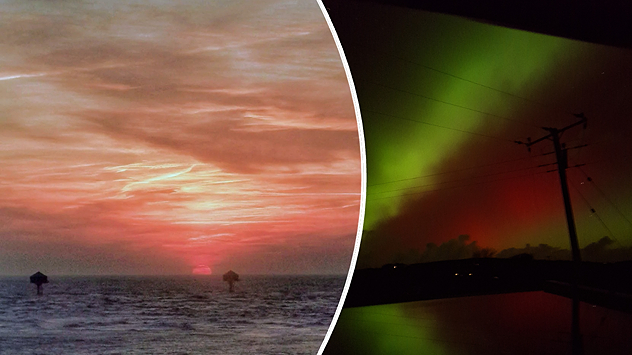
However these instances are rare and it is estimated that such strong solar storms only "hit" the Earth every 100 to 200 years. More often than not, there are no major problems on Earth and instead they produce beautiful auroras.

Weather & Radar editorial team
More on the topic
Split image showing a red-orange sunset over the sea with layered clouds on the left, and green and red aurora glowing in the night sky with silhouetted power lines and a utility pole on the right, divided by a curved white line.
Sunday, 1 February 2026

Your weather - Your shots

Calmer conditions catch the eye
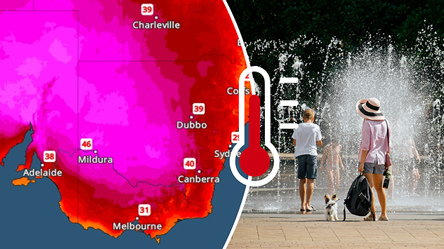
In the southern hemisphere, people and nature are currently groaning under the intense summer heat.
Friday, 30 January 2026

40 degrees and above

Severe heat on the southern continents
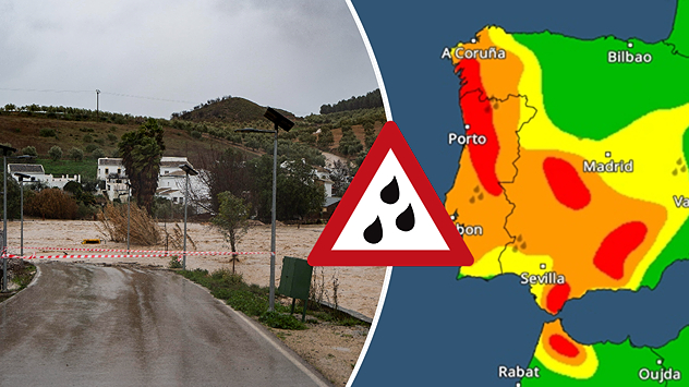
Split image showing floodwater covering a road and nearby houses in a rural area on the left, and a Spain weather warning map on the right with red and orange zones indicating heavy rainfall, divided by a curved white line.
Thursday, 5 February 2026

Fresh storm front

Severe flooding in Spain and Portugal
All weather news
This might also interest you
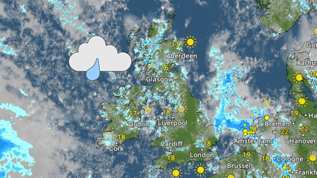
Weather map of the UK and Ireland showing scattered showers with cloudy patches across much of the region, especially around western and northern areas. Sunshine symbols appear over London, Cardiff, and parts of southern England, while temperatures range from 17°C to 18°C in most places. Areas of heavier rain are visible over the Atlantic to the west.
Friday, 29 August 2025

Breakfast brief

Unsettled conditions into the weekend
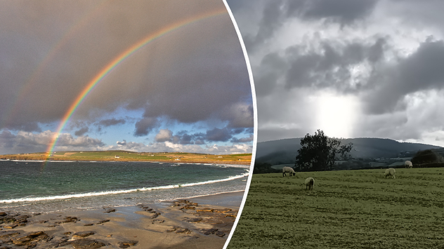
plit image showing a double rainbow over a rocky shoreline on the left and sheep grazing in a green field under stormy clouds on the right.
Sunday, 2 November 2025

Your weather - Your shots

Mixed conditions on an unsettled week
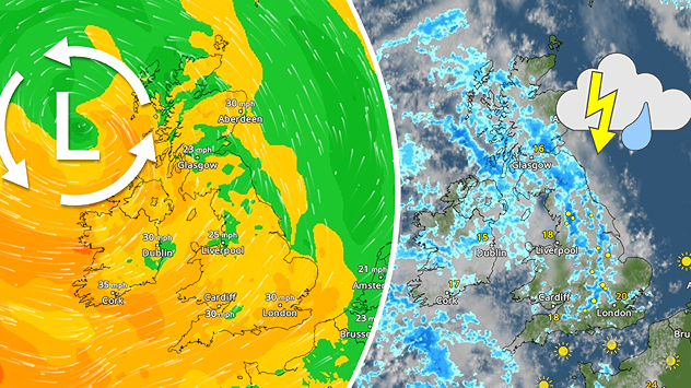
Split weather map showing the UK and Ireland. The left side illustrates strong winds circulating around a low-pressure system, with gusts of 20–30 mph highlighted in orange and yellow. The right side shows radar imagery with widespread blue rain bands and patches of thunderstorms, especially over northern England and Scotland.
Thursday, 28 August 2025

Breakfast brief

Remaining widely unsettled
All articles
Weather & Radar
GB
Clima & Radar Brasil
Hava durumu & Radar Türkiye
Időjárás és Radar Magyarország
Καιρός & Ραντάρ Ελλάδα
Météo & Radar Belgique (Français)
Météo & Radar France
Meteo & Radar Italia
Meteo & Radar România
Météo & Radar Suisse (Français)
Meteo & Radars Latvija
OrasOnline Lietuva
Počasí & Radar Czechia
Počasie & Radar Slovensko
Pogoda & Radar Polska
Погода & Радар Україна (українська)
Tempo & Radar Portugal
Tiempo & Radar Argentina
Tiempo & Radar España
Vejr & Radar Danmark
Vreme & Radar Slovenija
Vreme & Radar Srbija
Vrijeme & Radar Bosna
Vrijeme & Radar Crna Gora
Vrijeme & Radar Hrvatska
Време & Радар България
Времето & Радар Macedonia
Weather & Radar India (English)
Weather & Radar Ireland
Weather & Radar USA (English)
Weather & Radar USA (Español)
Weer & Radar België (Nederlands)
Weer & Radar Nederland

Weather & Radar is also available on

Google Play StoreApp Store

Company

Contact us Privacy Policy Legal info Accessibility statement

Services

Uploader

Socials

facebooktwittertikToklinkList