Home / Editor's Pick /

After the eruption: Icelandic village may never recover

13:00
9 February 2024

After the eruption
Icelandic village may never recover

Lava flows encompassing the town of Grindavík on Sunday 14th January 2024.Lava flows encompassing the town of Grindavík on Sunday 14th January 2024. - © picture alliance

The town of Grindavík, once a thriving fishing community, may never recover following recent volcanic activity there.

In recent months, the Icelandic town of Grindavík has experienced the relentless forces of nature. In November 2023, the Fagradalsfjall volcano began threatening signs of eruption, causing mandatory evacuations.

In December 2023, a volcano on the Reykjanes Peninsula erupted, and again in January 2024, molten lava began spewing across the town of Grindavík, as two fissures created by the Svartsengi volcanic system opened up nearby.

The town's 3,800 residents were forced to flee, with three homes destroyed by the lava. Now, one month on, the residents find themselves living temporarily across other parts of the country, unable to find safety and security in their hometown.

Even in recent days, lava was seen flowing to the surface. Geologists believe magma corridors are flowing beneath the town, rendering it an ongoing risk site.

Over the past three years, the Reykjanes Peninsula has experienced five eruptions. Another more recent eruption of the Sylingarfell volcano in Fagradalsfjall occurred on Thursday 8th February too, with the live video from it linked below.

Recommended external content from YouTube

We need your consent to show content from YouTube. You can withdraw your consent at any time.

I agree that content from YouTube will be displayed to me.

Settings for external content

Privacy Policy
Can we predict volcanic eruptions?read more
More on the topic
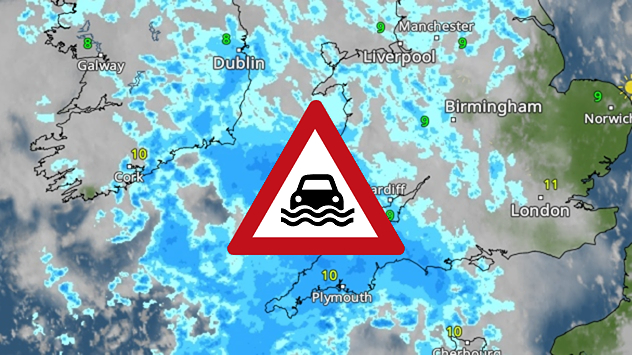
Radar map showing widespread blue rain bands over the UK and Ireland with a triangular heavy-rain warning icon placed over central Britain.
Tuesday, 16 December 2025

Thursday rain

Incoming downpour prompts warnings
pinecones
Thursday, 11 December 2025

Winter helpers

How pine cones aid the weather forecast
Split image showing a towering storm cloud with rain shafts over the sea on the left and a vivid red aurora illuminating the night sky above residential rooftops on the right, divided by a curved white line.
Tuesday, 9 December 2025

Your weather - Your shots

Autumn captured by you
All weather news
This might also interest you
Split weather map showing UK wind speeds in orange-red shades up to 40 mph on the left and warning levels in green-yellow on the right, with a central wind warning sign.
Wednesday, 22 October 2025

Warnings active

Storm Benjamin impacts the UK
Split weather map showing the UK and Ireland. The left side illustrates strong winds circulating around a low-pressure system, with gusts of 20–30 mph highlighted in orange and yellow. The right side shows radar imagery with widespread blue rain bands and patches of thunderstorms, especially over northern England and Scotland.
Thursday, 28 August 2025

Breakfast brief

Remaining widely unsettled
Weather map of the UK and Ireland showing scattered showers with cloudy patches across much of the region, especially around western and northern areas. Sunshine symbols appear over London, Cardiff, and parts of southern England, while temperatures range from 17°C to 18°C in most places. Areas of heavier rain are visible over the Atlantic to the west.
Friday, 29 August 2025

Breakfast brief

Unsettled conditions into the weekend
All articles
Weather & Radar

Weather & Radar is also available on

Google Play StoreApp Store

Company

Contact us Privacy Policy Legal info Accessibility statement

Services

Uploader

Socials

facebooktwittertikToklinkList