Home
Weather London
WeatherRadar
RainfallRadar
TemperatureRadar
WindRadar
LightningRadar
Weather News
Editor's Pick
Discover the app
Weather widget
Contact us
Apps
Career
    Home / Editor's Pick /

    World Meteorological Day - Monitor today, protect tomorrow

09:42
23 March 2026

World Meteorological Day
Monitor today, protect tomorrow

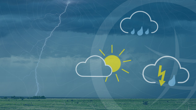
A graphic for World Meteorological Day featuring weather symbols.

What’s the weather going to be like? The answer to the question we ask ourselves every day is just a quick glance at our smartphone away.

The basis: global measurement data

What we don’t see is the enormous amount of data behind every single forecast. On today’s World Meteorological Day, the focus is on precisely this invisible foundation.

Did you know?

World Meteorological Day commemorates the founding of the World Meteorological Organisation (WMO) in 1950. The WMO ensures that weather and climate data are measured to uniform standards worldwide and exchanged between countries – the basis for reliable forecasts and effective warning systems.

The motto: "Observe today, protect tomorrow“ takes things a step further, as only with the help of reliable data can weather patterns be identified at an early stage and risks assessed. Given the increasing frequency of extreme weather events, this task is becoming ever more important.

WeatherRadar: Everything you need to know

Weather & Radar also receives huge amounts of data every day. Our meteorologists analyse, evaluate, and process this data to produce highly accurate forecasts.

The WeatherRadar for your countryread more
Weather & Radar editorial team

More on the topic

Conditions combine to reduce air quality. Light winds and fireworks. . . Tuesday, 10 November 2026
Split image showing a UK wind map with 25 mph near Cardiff and 19 mph near London, beside colourful fireworks above illuminated waterfront buildings.
Tuesday, 10 November 2026

Light winds and fireworks

Conditions combine to reduce air quality
Foggy mornings and crisp autumn days. Your weather - Your shots. . . Sunday, 8 November 2026
Sunday, 8 November 2026

Your weather - Your shots

Foggy mornings and crisp autumn days
Europe set for a change in the weather. Turning more unsettled. . . Monday, 9 November 2026
European weather map showing low pressure over Scandinavia, pink snow bands across Norway and Sweden, blue rain areas and arrows indicating airflow.
Monday, 9 November 2026

Turning more unsettled

Europe set for a change in the weather
All weather news

This might also interest you

Flooding, gales, and heavy snow. Storm Chandra. . . Tuesday, 27 January 2026
Split image showing aerial flooding in a town with muddy water covering roads on the left, and a rural road on the right blocked by heavy snowfall with vans stopped and a person walking in snow.
Tuesday, 27 January 2026

Storm Chandra

Flooding, gales, and heavy snow
Seasonal warmth between spring thunder. Your weather - Your shots. . . Sunday, 19 April 2026
Split image showing coastal sunset with layered lenticular clouds over rooftops and palm trees on the left, and a green valley with river and hills under soft daylight on the right.
Sunday, 19 April 2026

Your weather - Your shots

Seasonal warmth between spring thunder
Super Typhoon Bavi threatens Taiwan. Up to 1,000 mm of rain. . . Wednesday, 8 July 2026
The image shows an intense tropical cyclone over the western Pacific, east of Taiwan and the Philippines. The centre of the system is depicted as a light purple and white vortex with a clearly visible eye, surrounded by a ring of red and orange areas indicating the strongest wind speeds. A white arrow marks the typhoon’s predicted track towards the north-west, in the direction of Taiwan. To the west of the storm lie the Philippines, with the cities of Manila and Cebu; to the north of these lies Taiwan, with Taipei. Further west, the Chinese coast, including Hong Kong, and parts of Vietnam can be seen. The coloured wind map shows predominantly green areas outside the storm’s core, indicating significantly weaker winds. White streamlines illustrate the typhoon’s anti-clockwise circulation in the Northern Hemisphere. The highest wind speeds are concentrated around the eye of the cyclone.
Wednesday, 8 July 2026

Up to 1,000 mm of rain

Super Typhoon Bavi threatens Taiwan
All articles
Weather & Radar

Weather & Radar is also available on

Google Play StoreApp Store

Company

Contact us Privacy Policy Legal info Accessibility statement

Services

Uploader

Socials

facebooktwittertikToklinkList