Home
Weather London
WeatherRadar
RainfallRadar
TemperatureRadar
WindRadar
LightningRadar
Weather News
Editor's Pick
Discover the app
Weather widget
Contact us
Apps
Career
    Home / Editor's Pick /

    Types of rain: What are showers?

11:00
8 April 2023

Types of rain
What are showers?

Shower cloud

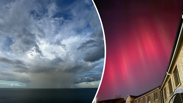
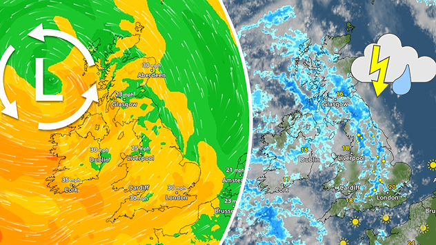
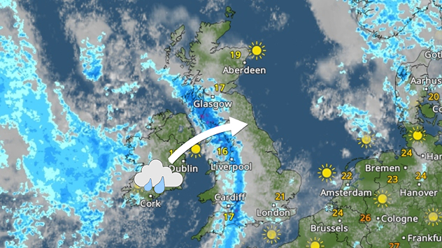
Through the month of April we are prone to seeing plenty of showers across the UK and Ireland.

What are showers?

Showers are short bursts of rain, often locally variable. They are produced by cumulus clouds, which form as warm air rises, cools and condenses. If there are strong enough updrafts then these cumulus clouds can grow into thundery cumulonimbus clouds.

During winter, when the sea is warmer than the land, showers are most prevalent over the water. But as we head into spring and summer, the land starts to heat up more rapidly and showers become more concentrated there instead.

Showers aren't just triggered by daytime heating though, they also source from low pressure systems alongside longer spells of rain. During spring time, the jet stream shifts northwards and starts driving in more unsettled weather.

Rain or showers?

Both bring wet weather, so what's the real difference? Well, they originate from different types of clouds.

Showers are convective and come from cumulus or cumulonimbus clouds, often forming and dissipating within short periods of time and often over localised areas. They can be heavy or light and develop between sunshine.

Rain (albeit also a generic word for the precipitation) comes from flat-layered stratus clouds and can often hang around for several hours and is accompanied by a blanket of dark grey cloud.

Do April showers bring May flowers?read more
Weather & Radar editorial team
More on the topic
A marked change in the weather. Cold front heading south. . . Monday, 7 September 2026
Map of Europe showing a cold front stretching from Scandinavia to Spain. Thunderstorms are shown in southern and central Europe.
Monday, 7 September 2026

Cold front heading south

A marked change in the weather
More rain needed to ease drought. Reservoirs still falling. . . Tuesday, 8 September 2026
Aerial view of a depleted reservoir with exposed banks and a narrow winding stream through the dry basin, surrounded by green hills and roads.
Tuesday, 8 September 2026

Reservoirs still falling

More rain needed to ease drought
Cheshire Gap produces shower funnel. Local phenomenon. . . Wednesday, 9 September 2026
Weather map showing showers moving southeast from Liverpool toward Birmingham, driven by Cheshire Gap convergence across central England.
Wednesday, 9 September 2026

Local phenomenon

Cheshire Gap produces shower funnel
All weather news
This might also interest you
A stormy week in the skies above. Your weather - Your shots. . . Sunday, 30 August 2026
Split image showing lightning branching beneath dark storm clouds above rooftops on the left and an orange-pink sunset over a calm sea on the right.
Sunday, 30 August 2026

Your weather - Your shots

A stormy week in the skies above
Storm Chandra makes impact. Severe gales & heavy rain. . . Tuesday, 27 January 2026
Split image showing strong winds over the UK on a forecast map and widespread rain and snow on a weather radar map.
Tuesday, 27 January 2026

Severe gales & heavy rain

Storm Chandra makes impact
Flooding, gales, and heavy snow. Storm Chandra. . . Tuesday, 27 January 2026
Split image showing aerial flooding in a town with muddy water covering roads on the left, and a rural road on the right blocked by heavy snowfall with vans stopped and a person walking in snow.
Tuesday, 27 January 2026

Storm Chandra

Flooding, gales, and heavy snow
All articles
Weather & Radar

Weather & Radar is also available on

Google Play StoreApp Store

Company

Contact us Privacy Policy Legal info Accessibility statement

Services

Uploader

Socials

facebooktwittertikToklinkList