Home
Weather London
WeatherRadar
RainfallRadar
TemperatureRadar
WindRadar
LightningRadar
Weather News
Editor's Pick
Discover the app
Weather widget
Contact us
Apps
Career
    Home / Editor's Pick /

    Perfect for half-term - Warming waters in holiday spots

15:45
20 May 2026

Ideal for half-term
Warming waters in holiday spots

Over the next few days, it’s set to get toasty across Europe. On Saturday, temperatures will reach highs of around 30 degrees from Spain to Germany.

Even in London, we’ll be hovering around the 30-degree mark. On top of that, there’ll be plenty of sunshine and early summer weather.

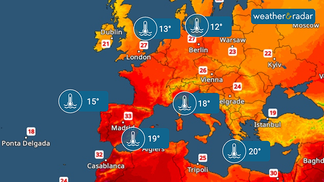
The map shows current water temperatures in Europe and the Mediterranean. The water is particularly warm off the coast of Spain and North Africa, and cooler in the North Sea and the Baltic Sea.
This map shows the maximum temperatures and water temperatures on Saturday.

Temperatures like these really make you want to take a dip in the water. The water is already feeling quite pleasant in many parts of the Mediterranean, with half-term around the corner and many families heading for a break.

Palma

Th
21
27
Fr
17
29
Sa
18
30
Su
17
30
Mo
17
30
Tu
17
30
We
19
29
Th
21
29
Fr
19
28
Sa
18
29
Su
18
30
Mo
18
29
Tu
19
30
We
19
29
Max (°C)
Min (°C)
moreless

Heraklion

Th
18
29
Fr
19
30
Sa
18
31
Su
18
33
Mo
22
30
Tu
19
29
We
22
29
Th
22
28
Fr
22
29
Sa
22
29
Su
22
29
Mo
21
29
Tu
21
28
We
20
30
Max (°C)
Min (°C)
moreless

Cagliari

Th
23
31
Fr
21
31
Sa
19
30
Su
18
30
Mo
19
31
Tu
19
31
We
21
31
Th
20
30
Fr
20
29
Sa
20
30
Su
20
30
Mo
18
29
Tu
19
30
We
18
31
Max (°C)
Min (°C)
moreless

Venice

Th
21
22
Fr
19
24
Sa
20
25
Su
19
25
Mo
19
26
Tu
21
26
We
19
27
Th
18
26
Fr
18
26
Sa
17
25
Su
17
25
Mo
16
24
Tu
16
24
We
16
24
Max (°C)
Min (°C)
moreless

Seville

Th
19
33
Fr
19
35
Sa
21
36
Su
22
36
Mo
21
37
Tu
20
35
We
20
34
Th
19
33
Fr
19
33
Sa
18
34
Su
20
35
Mo
22
35
Tu
22
36
We
20
35
Max (°C)
Min (°C)
moreless

Temperatures in the western and eastern Mediterranean are already around 20 degrees, whilst the Adriatic is reaching a pleasant 18 degrees.

In the North Sea, the Baltic Sea, and along the Atlantic coast, the water is still a little chilly at 12 to 15 degrees, a little courage is needed to take the plunge there.

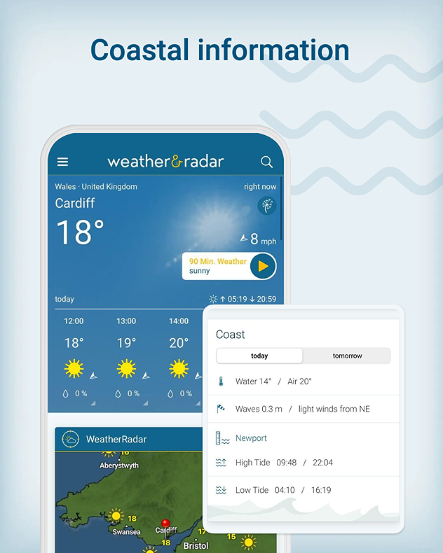
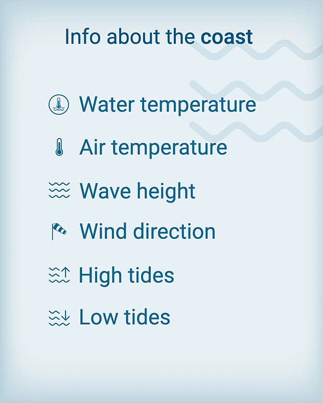
Coastal and beach weather in the app

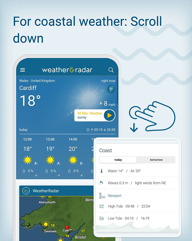
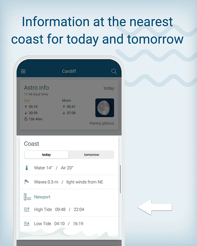
Thinking of heading to a beach nearby? Or, want to know how it's looking at your holiday destination? The beach and coastal weather card makes it easy:

1/4

Sebastian Keßler
More on the topic
A marked change in the weather. Cold front heading south. . . Monday, 7 September 2026
Map of Europe showing a cold front stretching from Scandinavia to Spain. Thunderstorms are shown in southern and central Europe.
Monday, 7 September 2026

Cold front heading south

A marked change in the weather
Cheshire Gap produces shower funnel. Local phenomenon. . . Wednesday, 9 September 2026
Weather map showing showers moving southeast from Liverpool toward Birmingham, driven by Cheshire Gap convergence across central England.
Wednesday, 9 September 2026

Local phenomenon

Cheshire Gap produces shower funnel
Hurricane Lowell threatens Hawaii. Gales and flash floods. . . Tuesday, 8 September 2026
WindRadar showing Hurricane Lowell north-west of Hawaii and its well-defined storm centre.
Tuesday, 8 September 2026

Gales and flash floods

Hurricane Lowell threatens Hawaii
All weather news
This might also interest you
A stormy week in the skies above. Your weather - Your shots. . . Sunday, 30 August 2026
Split image showing lightning branching beneath dark storm clouds above rooftops on the left and an orange-pink sunset over a calm sea on the right.
Sunday, 30 August 2026

Your weather - Your shots

A stormy week in the skies above
Storm Chandra makes impact. Severe gales & heavy rain. . . Tuesday, 27 January 2026
Split image showing strong winds over the UK on a forecast map and widespread rain and snow on a weather radar map.
Tuesday, 27 January 2026

Severe gales & heavy rain

Storm Chandra makes impact
Super Typhoon Bavi threatens Taiwan. Up to 1,000 mm of rain. . . Wednesday, 8 July 2026
The image shows an intense tropical cyclone over the western Pacific, east of Taiwan and the Philippines. The centre of the system is depicted as a light purple and white vortex with a clearly visible eye, surrounded by a ring of red and orange areas indicating the strongest wind speeds. A white arrow marks the typhoon’s predicted track towards the north-west, in the direction of Taiwan. To the west of the storm lie the Philippines, with the cities of Manila and Cebu; to the north of these lies Taiwan, with Taipei. Further west, the Chinese coast, including Hong Kong, and parts of Vietnam can be seen. The coloured wind map shows predominantly green areas outside the storm’s core, indicating significantly weaker winds. White streamlines illustrate the typhoon’s anti-clockwise circulation in the Northern Hemisphere. The highest wind speeds are concentrated around the eye of the cyclone.
Wednesday, 8 July 2026

Up to 1,000 mm of rain

Super Typhoon Bavi threatens Taiwan
All articles
Weather & Radar

Weather & Radar is also available on

Google Play StoreApp Store

Company

Contact us Privacy Policy Legal info Accessibility statement

Services

Uploader

Socials

facebooktwittertikToklinkList