Lapland ice chamberTemperatures drop below -40 °C
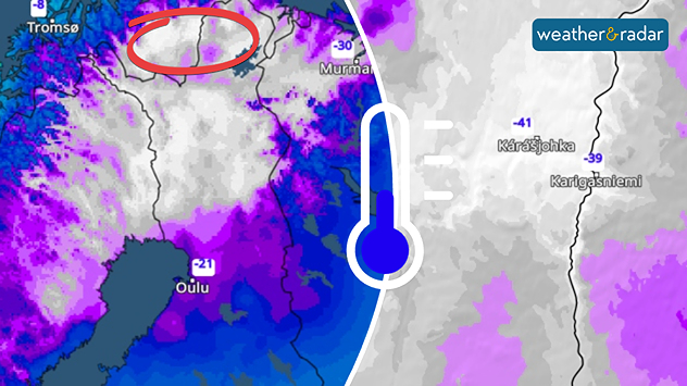
Karasjok
Sa
-7
3
Su
-6
2
Mo
-2
2
Tu
-13
1
We
-2
4
Th
-1
6
Fr
-2
7
Sa
1
8
Su
-2
6
Mo
-4
4
Tu
-2
6
We
-4
4
Th
-3
5
Fr
-3
6
Max (°C)
Min (°C)


