Gusts of 80 mph+Storm Floris arrives
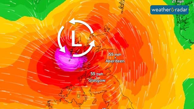
Possible hazards
As the trees are fully leafed, there is a high probability that some trees will fall over. Waves up to 6 metres high hit the coast. Holidaymakers at campsites should take extra care to protect their belongings.


