Home
Weather London
WeatherRadar
RainfallRadar
TemperatureRadar
WindRadar
LightningRadar
Weather News
Editor's Pick
Discover the app
Weather widget
Contact us
Apps
Career
    Home / Editor's Pick /

    Earlier this week: Saharan dust reaches the UK

11:00
8 September 2023

Earlier this week
Saharan dust reaches the UK

Satellitenbild Saharastaub
Significant amounts of Saharan dust moved over Europe, towards the UK earlier this week. - © Copernicus

A huge cloud of Saharan dust passed over Western Europe in the first half of the week, with satellite images showing the haze as it reached Spain, France, and the UK.

Large parts of Western Europe have been covered by a milky and brownish veil – Sahara dust. The huge band of sand and dust particles looks particularly impressive on satellite images.

But the dust was also noticeable from the ground through colourful sunrises and sunsets or by clouding the sky, as photographs from London show.

Privacy Policy

A depression over the Iberian Peninsula caused strong winds over the desert areas of North Africa, kicking up large quantities of sand and dust which reached the UK.

This is thanks to the high-altitude winds over the Balearic Islands, northern Spain and France.

As quantities of the fine sand builds in the air when Saharan dust arrives, the sun can appear milky and cloudy.

Due to the interaction of dust particles, clouds, and other aerosols in the high-altitude air, the sky also turns more orange to red, triggering spectacular sunrises and sunsets.

The desert dust consists mainly of tiny mineral dust and can rise up to heights of 5 – 10 kilometres into the atmosphere. When there is also rain in the forecast, it can produce 'blood rain'. You can find out more about the phenomenon from the video below:

Weather & Radar editorial team
More on the topic
Warm waters raise severe weather risk. Mediterranean bathtub. . . Friday, 4 September 2026
Left: Map showing water temperatures in the Mediterranean; Right: Dark clouds over a stretch of Mediterranean coastline. A bolt of lightning strikes and a curtain of rain can be seen.
Friday, 4 September 2026

Mediterranean bathtub

Warm waters raise severe weather risk
Hottest summer on record for Ireland. Beating 2025's record. . . Thursday, 3 September 2026
Temperature map of Ireland showing 29°C in Dublin, 26°C in Cork, 24°C in Belfast, and 23°C in Galway, with a red thermometer icon.
Thursday, 3 September 2026

Beating 2025's record

Hottest summer on record for Ireland
Severe weather hits Mallorca and Italy. Severe thunderstorms. . . Thursday, 10 September 2026
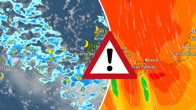
Numerous thunderstorms are sweeping across La Palma. The many lightning symbols on the radar and lightning map show that there is heavy lightning activity across large parts of the island. The thunderstorms are striking particularly in the island’s interior and in the south. On the right, you can see the aftermath: a large fallen tree has buried a car beneath it. Emergency services are clearing up the damage. So, along with the thunderstorms, not only heavy rain but also gusts of wind can become a problem.
Thursday, 10 September 2026

Severe thunderstorms

Severe weather hits Mallorca and Italy
All weather news
This might also interest you
Historic Storm Éowyn arrives. On this day.... . . Saturday, 24 January 2026
Split image showing a person in a yellow jacket struggling against strong winds and heavy rain on a street at night on the left, and an Irish wind forecast map on the right with red and purple shading, gusts up to 75 mph, and a wind warning icon, divided by a curved white line.
Saturday, 24 January 2026

On this day...

Historic Storm Éowyn arrives
New records for England and Wales. Broken again tomorrow?. . . Thursday, 25 June 2026
Temperature map of southwest Britain on 25.06 showing extreme heat across southern Wales and southwest England, with Bute Park in Cardiff highlighted at 34.2°C and Yeovilton at 36.4°C amid widespread deep red heat zones.
Thursday, 25 June 2026

Broken again tomorrow?

New records for England and Wales
A frozen start to the weekend. Icy conditions. . . Friday, 13 February 2026
UK temperature map dated 14.02 showing widespread subzero values in blue shading, with readings such as −4 in Glasgow, −3 in Dublin, and −2 in London, alongside a blue thermometer icon.
Friday, 13 February 2026

Icy conditions

A frozen start to the weekend
All articles
Weather & Radar

Weather & Radar is also available on

Google Play StoreApp Store

Company

Contact us Privacy Policy Legal info Accessibility statement

Services

Uploader

Socials

facebooktwittertikToklinkList