Home
Weather London
WeatherRadar
RainfallRadar
TemperatureRadar
WindRadar
LightningRadar
Weather News
Editor's Pick
Discover the app
Weather widget
Contact us
Apps
Career
    Home / Editor's Pick /

    A hot and thundery week: Your weather - Your shots

15:00
28 June 2026

Your weather - Your shots
A hot and thundery week

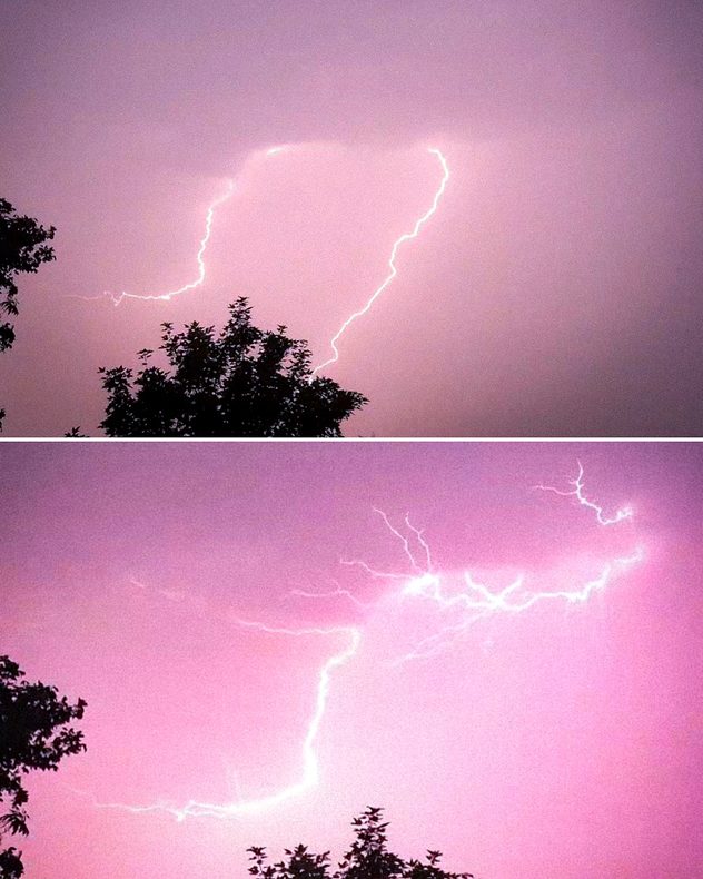
Split image showing two nighttime photographs of bright forked lightning illuminating pink-purple storm clouds above silhouetted trees, with branching lightning channels spreading across the sky.
Bright branching lightning bolt illuminating the night sky beside a building, with multiple forked channels spreading across dark storm clouds during an active thunderstorm.
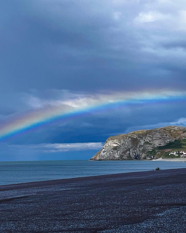
Bright rainbow arching over a calm sea beside white coastal cliffs beneath dark storm clouds, with a pebble beach and shoreline in the foreground.
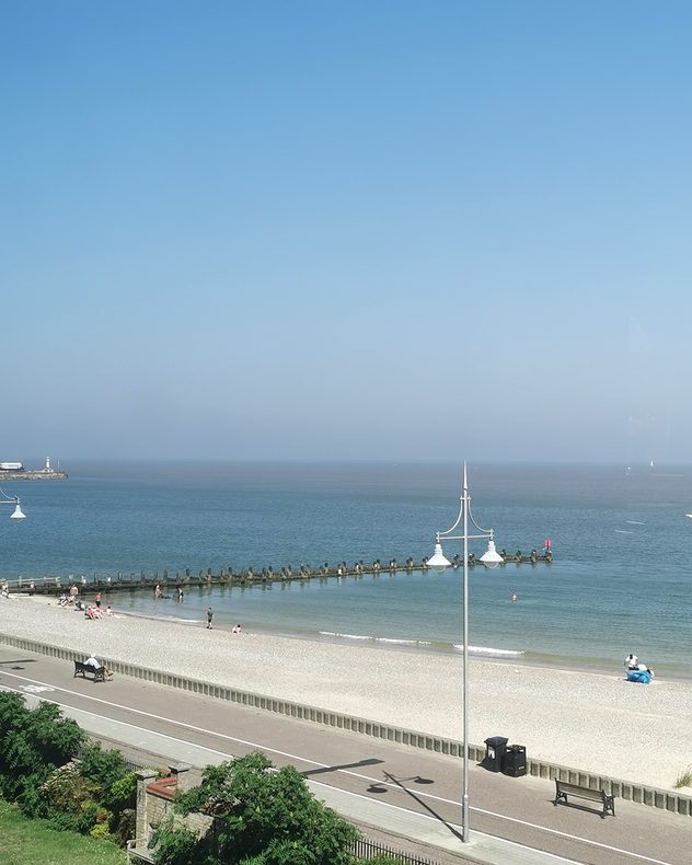
Sunny pebble beach with calm blue sea, wooden groynes, and a seaside promenade beneath a hazy blue sky, with a few people relaxing and swimming.
Golden sunset shining through silhouetted trees above a grassy park, with streaky high clouds across the sky and a paraglider visible against the glowing evening horizon.
1/5
Thunderstorms at the end of the week captured over Grays, Essex. - © Weather & Radar Uploader

Days of record heat, and powerful thunderstorms too, there was more than enough weather in the UK and Ireland this week to snapshot!

Not only through the camera, but also our video feature, here's a selection from the last two weeks.

Get involved! Send in your pictures and videos to the Uploaders for the UK or Ireland. Plus, record your weather in the moment, complete with our WeatherRadar, and upload directly in the video feature!

Weather & Radar editorial team
More on the topic
Europe split in two distinct patterns. Autumn meets summer. . . Tuesday, 22 September 2026
Weather maps show a storm over the North Atlantic and temperatures of up to 37 degrees in Spain and Portugal.
Tuesday, 22 September 2026

Autumn meets summer

Europe split in two distinct patterns
Hurricane POLO remains dangerous. Many storms in the Pacific. . . Thursday, 24 September 2026
Thursday, 24 September 2026

Many storms in the Pacific

Hurricane POLO remains dangerous
First taste of winter in the Alps. White mountain peaks. . . Friday, 25 September 2026
Winter scenery in the Alps along the Großglockner High Alpine Road
Friday, 25 September 2026

White mountain peaks

First taste of winter in the Alps
All weather news
This might also interest you
Historic Storm Éowyn arrives. On this day.... . . Saturday, 24 January 2026
Split image showing a person in a yellow jacket struggling against strong winds and heavy rain on a street at night on the left, and an Irish wind forecast map on the right with red and purple shading, gusts up to 75 mph, and a wind warning icon, divided by a curved white line.
Saturday, 24 January 2026

On this day...

Historic Storm Éowyn arrives
Flooding, gales, and heavy snow. Storm Chandra. . . Tuesday, 27 January 2026
Split image showing aerial flooding in a town with muddy water covering roads on the left, and a rural road on the right blocked by heavy snowfall with vans stopped and a person walking in snow.
Tuesday, 27 January 2026

Storm Chandra

Flooding, gales, and heavy snow
A frozen start to the weekend. Icy conditions. . . Friday, 13 February 2026
UK temperature map dated 14.02 showing widespread subzero values in blue shading, with readings such as −4 in Glasgow, −3 in Dublin, and −2 in London, alongside a blue thermometer icon.
Friday, 13 February 2026

Icy conditions

A frozen start to the weekend
All articles
Weather & Radar

Weather & Radar is also available on

Google Play StoreApp Store

Company

Contact us Privacy Policy Legal info Accessibility statement

Services

Uploader

Socials

facebooktwittertikToklinkList