Home / Editor's Pick /

Video from Arizona: Double dust devils

08:00
16 April 2024

Video from Arizona
Double dust devils

Recommended external content from YouTube

We need your consent to show content from YouTube. You can withdraw your consent at any time.

I agree that content from YouTube will be displayed to me.

Settings for external content

Privacy Policy
Impressive footage captured in the US state of Arizona sees two large dust devils in action. The diminutive tornadoes swept across the landscape on Friday.

Dust devils are small and relatively weak tornadoes. They often form in dry areas over a highly heated and dusty surface when air rises and begins to rotate.

In contrast to tornadoes, dust devils occur in calm and dry weather. They usually only reach a height of a few dozen metres and are usually much more harmless than tornadoes.

A history of UK and Irish tornadoesread more
Weather & Radar editorial team
More on the topic
Split image showing a towering storm cloud with rain shafts over the sea on the left and a vivid red aurora illuminating the night sky above residential rooftops on the right, divided by a curved white line.
Tuesday, 9 December 2025

Your weather - Your shots

Autumn captured by you
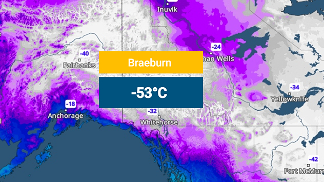
The weather map shows extremely low temperatures in Canada.
Monday, 15 December 2025

Minus 53 degrees

Record cold in Canada's Yukon Territory
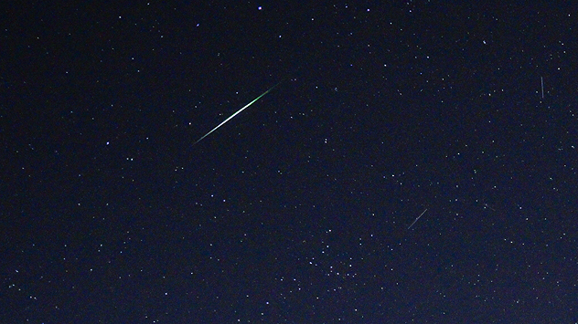
Shooting stars, part of the Geminid meteor shower.
Saturday, 13 December 2025

Spot a shooting star

King of meteor showers at its peak
All weather news
This might also interest you
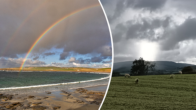
plit image showing a double rainbow over a rocky shoreline on the left and sheep grazing in a green field under stormy clouds on the right.
Sunday, 2 November 2025

Your weather - Your shots

Mixed conditions on an unsettled week
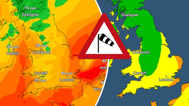
Split weather map showing UK wind speeds in orange-red shades up to 40 mph on the left and warning levels in green-yellow on the right, with a central wind warning sign.
Wednesday, 22 October 2025

Warnings active

Storm Benjamin impacts the UK
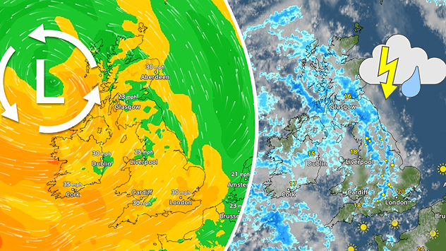
Split weather map showing the UK and Ireland. The left side illustrates strong winds circulating around a low-pressure system, with gusts of 20–30 mph highlighted in orange and yellow. The right side shows radar imagery with widespread blue rain bands and patches of thunderstorms, especially over northern England and Scotland.
Thursday, 28 August 2025

Breakfast brief

Remaining widely unsettled
All articles
Weather & Radar

Weather & Radar is also available on

Google Play StoreApp Store

Company

Contact us Privacy Policy Legal info Accessibility statement

Services

Uploader

Socials

facebooktwittertikToklinkList