Home / Editor's Pick /

Tips at home: Don't let your pipes freeze this winter!

12:30
2 December 2022

Tips at home
Don't let your pipes freeze this winter!

frozen pipes

With the weather turning, it's a good idea to know how to reduce the risk of your pipes bursting or freezing over.

Why do frozen pipes sometimes burst?

Water expands as it freezes, putting immense pressure on the pipes from the inside out. So to avoid that happening in your home this winter, take a read below.

Check out these tips

  • Use pipe insulation to cover indoor and outdoor pipes
  • Turn on taps in your home to help relieve the pressure on the system
  • Shut off and cover outdoor taps
  • Fix any leaky taps
  • Familiarise yourself with the stopcock, so you can stop water flow if you have to
  • Collect used cooking oil, grease, etc and dispose of in the bin rather than your sink
  • Turn off your taps altogether if you're going away
  • Always check for signs of a blockage
And lastly, be sure to keep an eye on the TemperatureRadar, so that you can prepare for the cold.

Weather & Radar editorial team
More on the topic
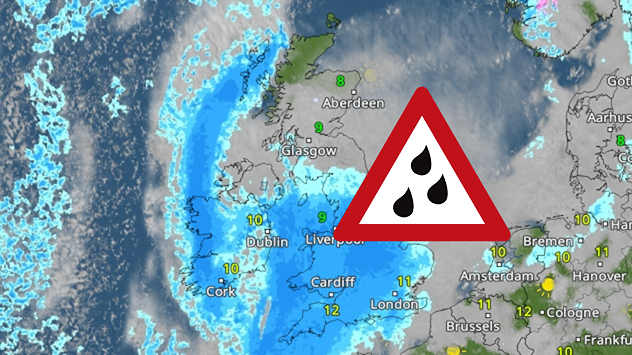
Radar map showing widespread blue rain bands over the UK and Ireland with a triangular heavy-rain warning icon placed over central Britain.
Tuesday, 16 December 2025

Thursday rain

Incoming downpour prompts warnings
Weather radar showing clouds and showers over Algeria and Morocco. Next to it, a warning map with the rain area in Algeria marked. Surrounding regions mostly sunny and dry.
Thursday, 18 December 2025

Algeria affected

Rain in the desert
Weather map showing temperatures and a 4,542 mile route arrow over the Atlantic. Symbols indicate sun, clouds and precipitation from North America to Europe.
Wednesday, 17 December 2025

From Europe to America

Weather front over 4,500 miles long
All weather news
This might also interest you
Friday, 22 August 2025

Breakfast brief

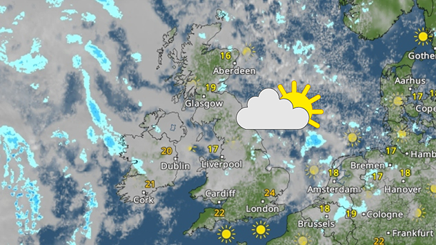
Sunny start for some, overcast later
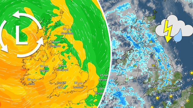
Split weather map showing the UK and Ireland. The left side illustrates strong winds circulating around a low-pressure system, with gusts of 20–30 mph highlighted in orange and yellow. The right side shows radar imagery with widespread blue rain bands and patches of thunderstorms, especially over northern England and Scotland.
Thursday, 28 August 2025

Breakfast brief

Remaining widely unsettled
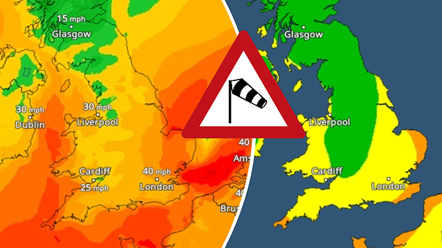
Split weather map showing UK wind speeds in orange-red shades up to 40 mph on the left and warning levels in green-yellow on the right, with a central wind warning sign.
Wednesday, 22 October 2025

Warnings active

Storm Benjamin impacts the UK
All articles
Weather & Radar

Weather & Radar is also available on

Google Play StoreApp Store

Company

Contact us Privacy Policy Legal info Accessibility statement

Services

Uploader

Socials

facebooktwittertikToklinkList