Home / Editor's Pick /

Seeking the truth: Extreme heat, or extreme headlines?

12:00
5 July 2022

Seeking the truth
Extreme heat, or extreme headlines?

Sunbathers at Brighton Pier in a heatwave last year© picture alliance

A heatwave is on the horizon, but how severe is it really looking?

Through the week, temperatures will be gradually on the rise as high pressure begins to build in from the south-west.

Depending on the exact placement of the high and the jet stream, there is the chance that we could draw up even more heat from the southern European continent.

Whilst weather models at present are trending with temperatures rocketing to around 30C next week, one publicly available weather model, has been showing something a little more severe, with a few alarming 40C figures popping up in there.

This is the first time any operational model run has shown 40C across the British Isles, so has consequently received major media attention.

However, there a lot of considerations that need to be taken before jumping to any conclusions:

  • These significantly high temperatures are still 10-14 days out. Weather models become inherently inaccurate this far into the future, and are only reliable with such detail a couple of days out
  • There are several weather models, each producing several different (and less extreme) outputs a day that many people do not get to see; the significantly higher values are an outlier and not an indication of the average trend
  • Weather model outputs are not a forecast, just a possibility from a range of scenarios
  • The weather is highly changeable in the British Isles; many factors would need to align to produce such extreme heat

Unfortunately, is not impossible for temperatures to soar to 40C in the British Isles. Such temperatures are now a realistic probability during the summer, especially in theme with recent record-breaking heat across the rest of Europe.

It’s still far too early to say whether this has any truth in it, but rest assured, we’ll be providing honest forecast updates as the week goes on.

You can keep an eye on our TemperatureRadar up to three days ahead too.

Weather & Radar editorial team
More on the topic
pinecones
Thursday, 11 December 2025

Winter helpers

How pine cones aid the weather forecast
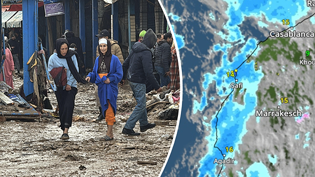
People walk through muddy streets after heavy rain, alongside a rain map of Morocco.
Tuesday, 16 December 2025

New rainfall in sight

Fatalities in Moroccan floods
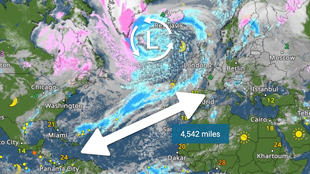
Weather map showing temperatures and a 4,542 mile route arrow over the Atlantic. Symbols indicate sun, clouds and precipitation from North America to Europe.
Wednesday, 17 December 2025

From Europe to America

Weather front over 4,500 miles long
All weather news
This might also interest you
Monday, 25 August 2025

Bank holiday outlook

Warm day turning gusty in places
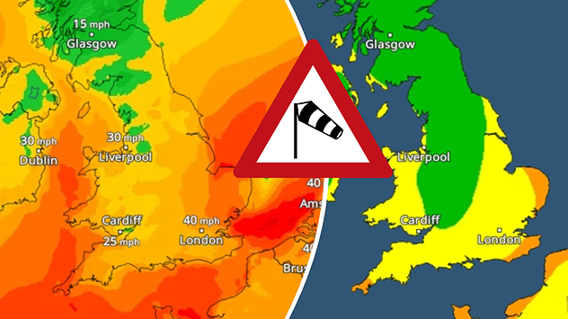
Split weather map showing UK wind speeds in orange-red shades up to 40 mph on the left and warning levels in green-yellow on the right, with a central wind warning sign.
Wednesday, 22 October 2025

Warnings active

Storm Benjamin impacts the UK
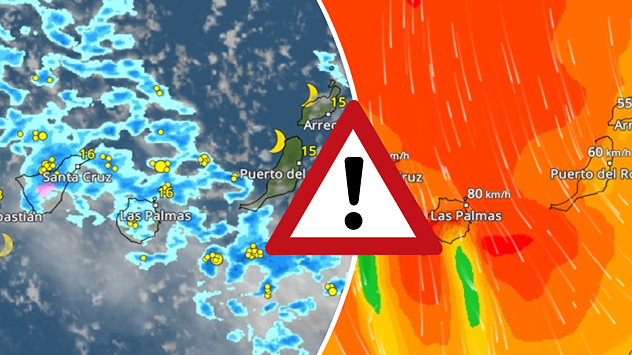
Weather graphic showing rain and wind fields over the Canary Islands and a central warning symbol.
Friday, 12 December 2025

Storm and rain

Turbulent weather in the Canary Islands
All articles
Weather & Radar

Weather & Radar is also available on

Google Play StoreApp Store

Company

Contact us Privacy Policy Legal info Accessibility statement

Services

Uploader

Socials

facebooktwittertikToklinkList