Home / Editor's Pick /

Rare sighting: Naturally rolled snow 'hay bales'

08:00
27 November 2022

Rare sighting
Naturally rolled snow 'hay bales'

Settings for external content

Privacy Policy

Nope, this image above was not a result of the farmer's hard work, but rather the wind's!

Snow rollers have been recently spotted in southern Ontario, following heavy falls of snow here where over 100cm accumulated.

These cylindrical snowballs form when freshly fallen snow is blown by strong winds down a hill. They are quite rare to spot however, given the specific set of conditions needed to form.

This includes:

  • Recent and sufficient snow depth that is light enough to roll, but moist enough to stick together
  • Temperatures just a few degrees above freezing, around 3-5C so some small surface melting can allow the snow to stick
  • Moderate to strong winds to roll the snow, ideally with a wind speed of around 30mph

They have been known to occur in our neck of the woods before too, and as we head towards winter it's certainly something we will keep our eye out for! Have you ever seen this rare winter phenomenon?

Weather & Radar editorial team
More on the topic
Weather radar showing clouds and showers over Algeria and Morocco. Next to it, a warning map with the rain area in Algeria marked. Surrounding regions mostly sunny and dry.
Thursday, 18 December 2025

Algeria affected

Rain in the desert
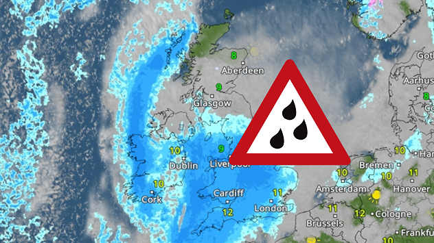
Radar map showing widespread blue rain bands over the UK and Ireland with a triangular heavy-rain warning icon placed over central Britain.
Tuesday, 16 December 2025

Thursday rain

Incoming downpour prompts warnings
Dense green forest with tall trees as bright sunlight streams through the canopy, casting long shadows across the leafy ground.
Sunday, 21 December 2025

Winter solstice

Days start getting longer from now!
All weather news
This might also interest you
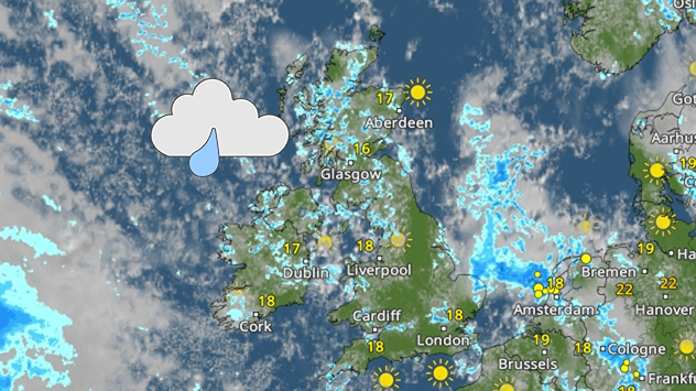
Weather map of the UK and Ireland showing scattered showers with cloudy patches across much of the region, especially around western and northern areas. Sunshine symbols appear over London, Cardiff, and parts of southern England, while temperatures range from 17°C to 18°C in most places. Areas of heavier rain are visible over the Atlantic to the west.
Friday, 29 August 2025

Breakfast brief

Unsettled conditions into the weekend
Wednesday, 27 August 2025

Breakfast brief

Frontal system brings heavy rain
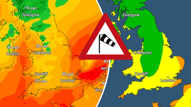
Split weather map showing UK wind speeds in orange-red shades up to 40 mph on the left and warning levels in green-yellow on the right, with a central wind warning sign.
Wednesday, 22 October 2025

Warnings active

Storm Benjamin impacts the UK
All articles
Weather & Radar

Weather & Radar is also available on

Google Play StoreApp Store

Company

Contact us Privacy Policy Legal info Accessibility statement

Services

Uploader

Socials

facebooktwittertikToklinkList