Home / Editor's Pick /

Gusts of 80 mph+ – Storm Floris arrives

07:00
4 August 2025

Gusts of 80 mph+
Storm Floris arrives

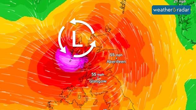
Wind map showing hurricane-level gusts from Storm Floris in western Scotland.The WindRadar forecast shows the storm in western Scotland.

An exceptionally strong summer storm developed over the eastern Atlantic on Sunday. Today, Storm Floris has arrives in the UK.

Gusts of up to 62 mph (100 km/h) are expected in the north of Ireland. In the west of Scotland and on the Hebrides, hurricane-force gusts of up to 86 mph are expected.

Possible hazards

  • As the trees are fully leafed, there is a high probability that some trees will fall over.
  • Waves up to 6 metres high hit the coast.
  • Holidaymakers at campsites should take extra care to protect their belongings.
During the course of the day, Floris will move eastwards towards the North Sea. It will reach the west coast of Norway during the night of Tuesday. Wind speeds of up to 60 mph are possible there. On the Danish North Sea coast, gusts will reach speeds of 37 to 50 mph.

Follow Storm Floris liveWindRadar
Weather & Radar editorial team
More on the topic
Split image showing a towering storm cloud with rain shafts over the sea on the left and a vivid red aurora illuminating the night sky above residential rooftops on the right, divided by a curved white line.
Tuesday, 9 December 2025

Your weather - Your shots

Autumn captured by you
Shooting stars, part of the Geminid meteor shower.
Saturday, 13 December 2025

Spot a shooting star

King of meteor showers at its peak
Weather radar showing clouds and showers over Algeria and Morocco. Next to it, a warning map with the rain area in Algeria marked. Surrounding regions mostly sunny and dry.
Thursday, 18 December 2025

Algeria affected

Rain in the desert
All weather news
This might also interest you
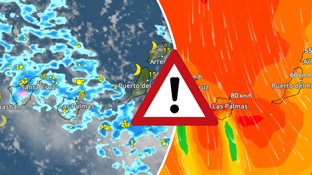
Weather graphic showing rain and wind fields over the Canary Islands and a central warning symbol.
Friday, 12 December 2025

Storm and rain

Turbulent weather in the Canary Islands
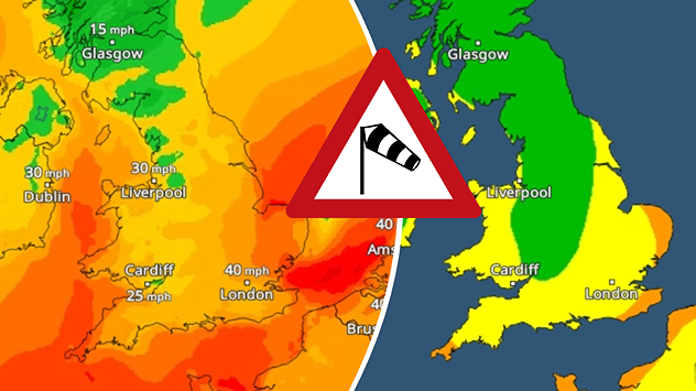
Split weather map showing UK wind speeds in orange-red shades up to 40 mph on the left and warning levels in green-yellow on the right, with a central wind warning sign.
Wednesday, 22 October 2025

Warnings active

Storm Benjamin impacts the UK
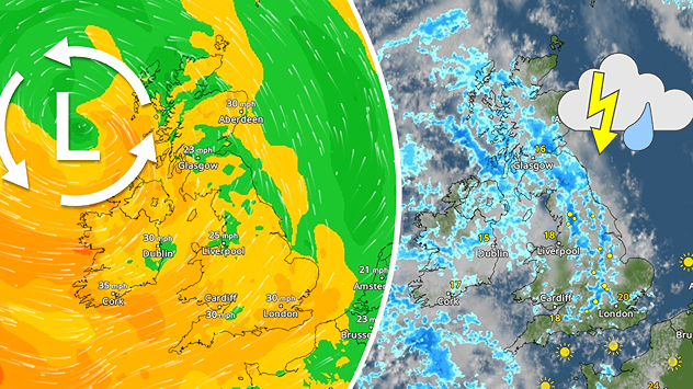
Split weather map showing the UK and Ireland. The left side illustrates strong winds circulating around a low-pressure system, with gusts of 20–30 mph highlighted in orange and yellow. The right side shows radar imagery with widespread blue rain bands and patches of thunderstorms, especially over northern England and Scotland.
Thursday, 28 August 2025

Breakfast brief

Remaining widely unsettled
All articles
Weather & Radar

Weather & Radar is also available on

Google Play StoreApp Store

Company

Contact us Privacy Policy Legal info Accessibility statement

Services

Uploader

Socials

facebooktwittertikToklinkList